

Course finder
Faculty of Engineering, Computing and the Environment
The Faculty of Engineering, Computing and the Environment was formed in 2022. Its schools bring together interdisciplinary research, improving the scope of the student experience and encouraging partnerships between academia and commerce.
Through a collaborative approach, the Faculty offers greater access to resources, knowledge and information and a broader perspective on its subjects, with teaching and research staff working more closely with their colleagues in other disciplines.
Why choose Engineering, Computing and the Environment?
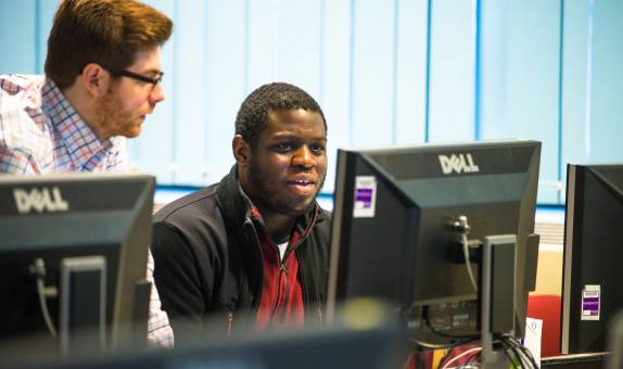
Practice-based learning
Our students benefit from a practice-based, hands-on education informed by innovative research to ensure our graduates have the skills and knowledge required to work in the industry.
Interdisciplinary work
Across our courses we aim to provide a collaborative way of working that allows our graduates to develop key skills, knowledge and practice.
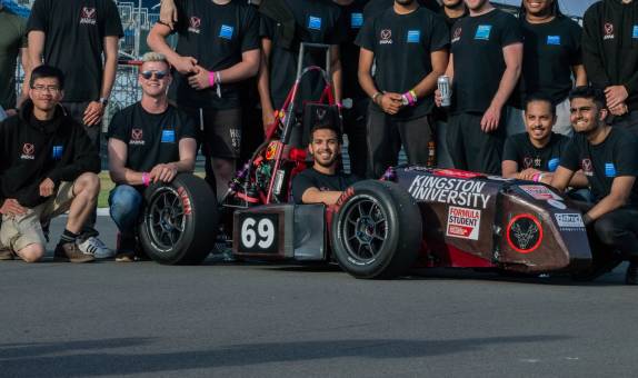
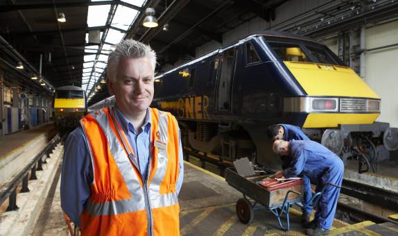
Links with the industry
We pride ourselves on promoting strong industrial involvement in all our degree programmes, ensuring our courses are at the forefront of the discipline.
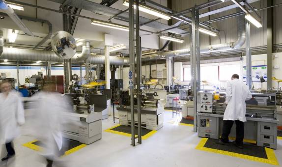
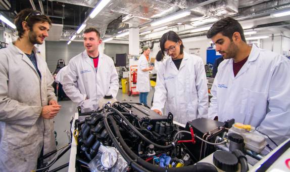
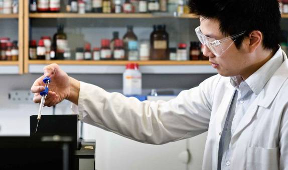
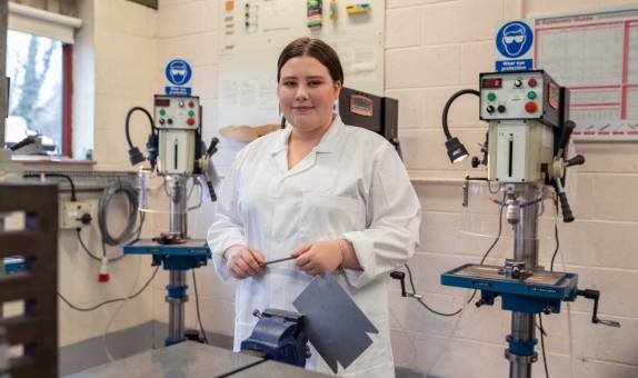
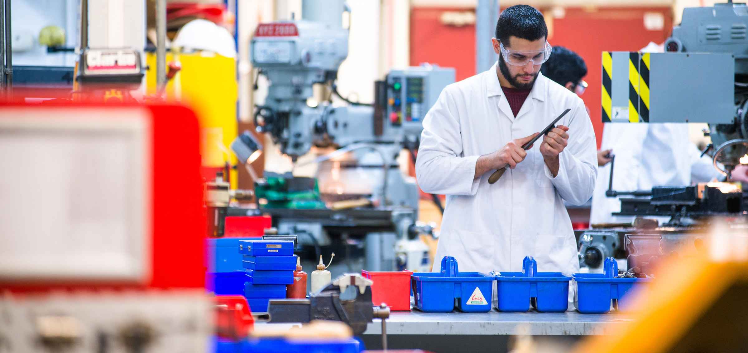
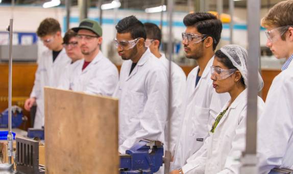
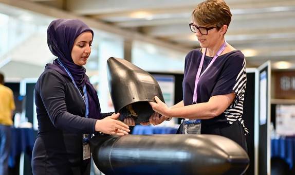
World-class facilities
Our industry standard laboratories and equipment provide plenty of opportunities to put theory into practice and gain valuable experience using the tools you'll find in the workplace - as well as some more unique equipment too.


Leaders in research
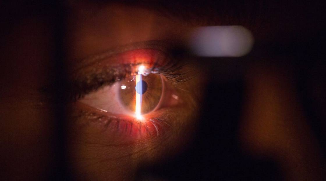
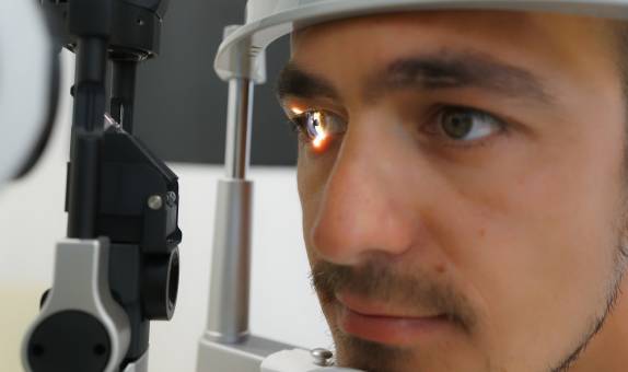
Artificial intelligence-enabled eye scans could be used to rapidly and accurately predict whether a person is at high risk of heart disease, a new study involving researchers from Kingston University has established.
The findings could pave the way for cardiovascular screening to be done more quickly and simply by using cameras, without the need for blood tests or blood pressure measurements.
Circulatory diseases, including cardiovascular disease, coronary heart disease, heart failure and stroke, are major causes of ill health and death worldwide, currently accounting for one in four UK deaths alone. While several risk frameworks exist, these aren't always able to accurately identify those who will go on to develop or die of circulatory diseases.
As part of the study, Kingston University Professor of Computer Vision Sarah Barman and postdoctoral researcher Roshan Welikala developed artificial intelligence (AI) algorithms that could reliably measure features on the retinal image, such as the width of blood vessels and how curved they were.
Read the full paper in the British Journal of Opthalmology.
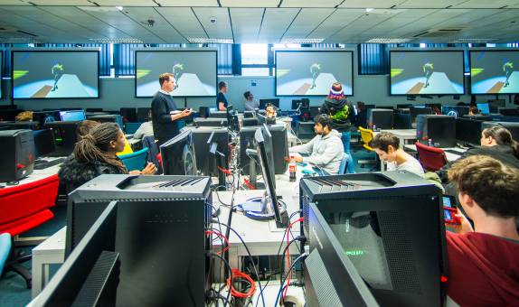
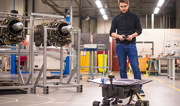
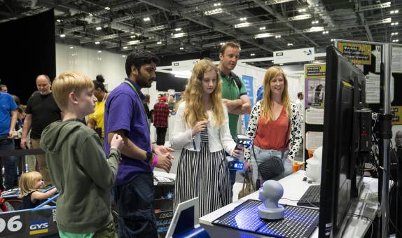
World-class facilities
We offer our students the opportunity to learn and grow in a real-world environment. Combined with our hands-on approach to teaching and learning, this provides our students with the skills ready for their chosen industry.
These skills are taught within our world-class facilities, providing our students with some of the most innovative and advanced technology in order to have the freedom to invent, create and revolutionise their practice.
See each course page for the facilities you might use, below are some of our most cutting-edge facilities.
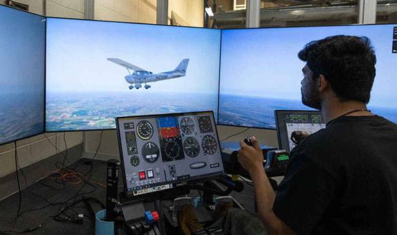
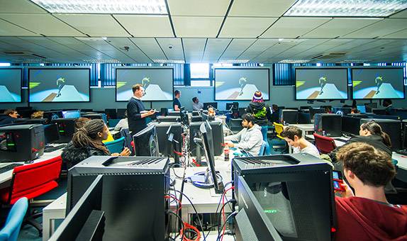
Flight simulator
Our aircraft engineering students have access to our flight simulator. It is equipped with visual display, instrumentation, pilot controls, motion base and instruction station.
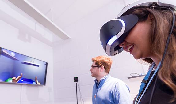
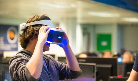
CAVE
Our computer science and gaming students have full access to the University's CAVE (Centre for Augmented and Virtual Reality Environments), a treasure trove of specialist equipment.
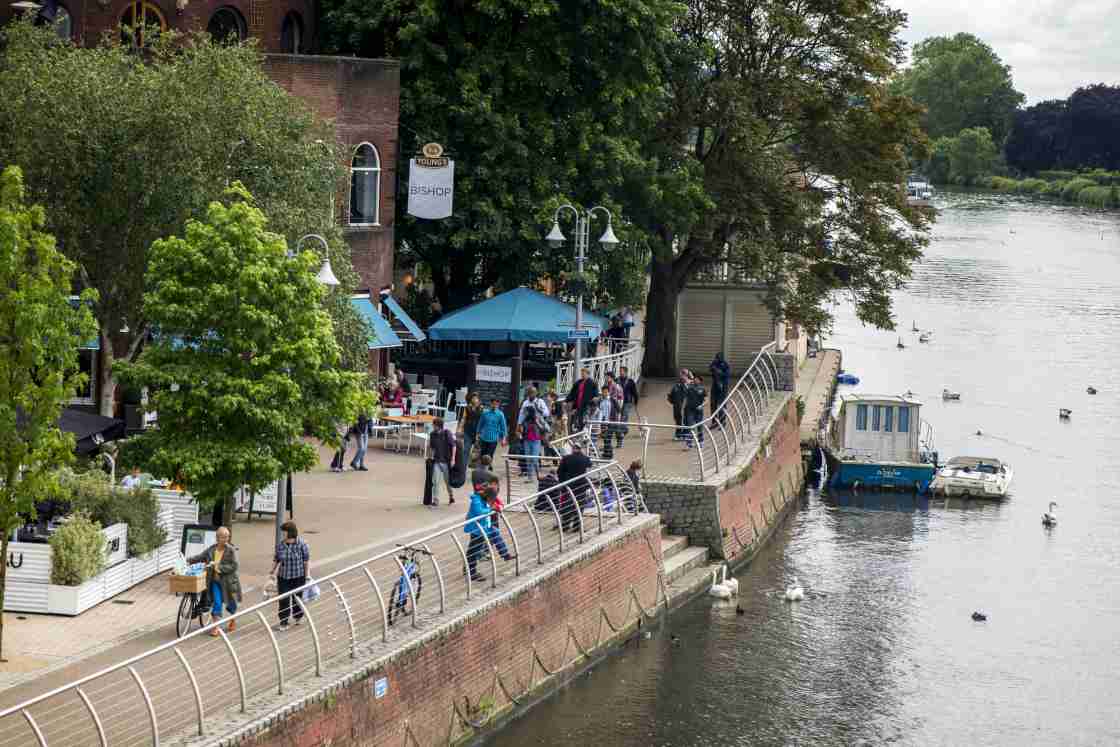
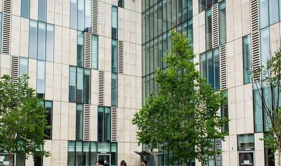
Kingston, London
Kingston University is based in Kingston upon Thames, a busy riverside town on the borders of London and Surrey, with central London just 30 minutes away by train.
News


Events
Schools Event - 75 years, Anniversary of Geography & Environment Courses
Wednesday 1 May 2024